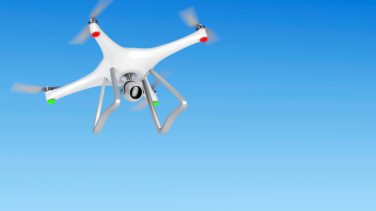
Ecological research often covers vast expanses of land and water, including seas and oceans. Thorough examination without specialized equipment can extend over months or years for researchers. The advent of unmanned aerial vehicles (UAVs) significantly simplifies this task. This article elaborates on the merits and limitations of this technology, and ways to overcome its drawbacks.
Table of Contents
Advantages:
The primary advantage of exploring vast territories with flying drones is the significant resource reduction, both human and material. A single specialist can conduct the survey, often with relatively inexpensive and easy-to-operate quadcopters sufficing for ecological purposes.
Lately, a second benefit of territory examination via drones is gaining precedence the acquisition of a substantial volume of information: data from specialized sensors, 4K resolution photographs, videos, and digital imagery. This enables the construction of three-dimensional models and a detailed scrutiny of the data array by different teams specializing in specific areas. The parallel processing of information and the implementation of an integrated approach to the examination significantly enhance the effectiveness and relevance of the results.
Limitations:
A notable limitation of this technology is the low accuracy of coordinate determination of fast-moving drones. This hinders the alignment of collected information in digital models and maps, especially in urban settings.
The negative impact of signal refraction and reflection off buildings and trees on satellite signals can be considerably mitigated by employing a survey GPS receiver. This base station, stationed at the survey site, aids drones in adjusting measurements by transmitting a reliable and strong signal to them.
There are two data processing methods:
RTK
Real-time processing. The outcome is a highly accurate description of the drone’s movement trajectory, up to 1 cm precision. However, the quality of work depends on the reliability of the connection between the drone and the station, which isn’t always feasible to establish in urban or mountainous terrains.
PPK
Deferred mode data processing. The precision of the trajectory data collected during flight isn’t as crucial for this process as the detail of the log constructed by the drone. Any coordinate measurement errors will be rectified by the PPK system, with missing sections filled in by interpolation.
Another limitation of employing drones for ecological research is the large volume of collected data. The flying apparatus itself can’t highlight areas requiring attention, hence it collects data across the entire area.
This limitation can be offset by subsequent processing of the data array using specialized software. They identify ecologically perilous areas – pollution, industrial emissions, based on predetermined indicators set by researchers. The software also detects changes, such as the reduction/enlargement of an oil spill, alterations in forest area, and other ecologically significant factors.
Several ready-made software suites and online services can take on data processing functions, including those available on a subscription basis. This allows for the management of expenses involved in conducting ecological research, the budget for which is often limited.
The synergy between UAVs and ecology presents a promising avenue for scientific exploration and environmental monitoring. The advantages of UAVs, including their ability to access remote areas, collect high-resolution data, and reduce human impact, are undeniable catalysts for ecological research and conservation efforts. However, it’s essential to acknowledge the limitations, such as regulatory constraints, operational costs, and data processing challenges.
As technology continues to evolve and stakeholders collaborate to address these limitations, the potential for UAVs to revolutionize ecological studies and contribute to our understanding and preservation of the natural world remains a tantalizing prospect. With responsible use and continued innovation, UAVs can be invaluable tools in the hands of ecologists working to protect our planet’s delicate ecosystems.