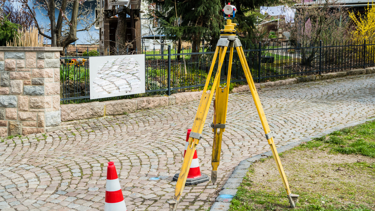
Ground Penetrating Radar (GPR) survey is a non-destructive geophysical method used to investigate subsurface structures and identify buried objects. It is a valuable technique in various industries, including construction, engineering, archaeology, and environmental studies.
GPR utilizes electromagnetic waves to penetrate the ground and generate detailed images of subsurface features. This article will explore the fundamentals of GPR survey and its applications.
Table of Contents
How Does GPR Survey Work?
GPR survey involves using a GPR system consisting of a control unit, antennas, and data processing software. The process begins with the operator moving the antennas over the surface, transmitting and receiving electromagnetic waves into the ground.
The waves penetrate different materials beneath the surface and bounce back to the antenna. The received signals are then processed and converted into images that reveal subsurface structures and objects. Lear more about the work process here https://precision-um.co.uk/
Applications of GPR Survey
Utility Detection and Mapping
GPR survey is widely used for utility detection and mapping purposes. It can accurately locate underground utilities such as pipes, cables, and conduits.
This information is crucial during construction or excavation projects to avoid damaging existing utilities and ensure worker safety. Companies like Precision Utility Mapping specialize in GPR surveys for utility detection and provide comprehensive reports to assist in project planning.
Geotechnical Investigations
GPR survey is valuable for geotechnical investigations to assess soil conditions, locate bedrock, and determine subsurface layering.
By analyzing the GPR data, engineers and geologists can evaluate the stability and composition of the ground, helping in the design and construction of structures such as foundations, roads, and tunnels. The detailed information obtained through GPR surveys aids in minimizing risks associated with unstable ground conditions.
Archaeological Studies
Archaeologists utilize GPR survey to explore and map archaeological sites without excavation. By analyzing the reflected signals, GPR can identify buried features, such as walls, foundations, and artifacts, providing valuable insights into past civilizations.
This non-invasive method helps preserve archaeological sites by reducing the need for extensive excavation and damage to cultural heritage.
Environmental Assessments
GPR survey is employed in environmental assessments to investigate subsurface contamination, identify underground storage tanks, and assess groundwater resources.
GPR can delineate the extent of contamination plumes, locate potential sources of pollution, and aid in the remediation process. This information assists environmental consultants and regulators make informed decisions regarding site remediation and protection of natural resources.
Concrete Inspection
GPR survey is an effective tool for inspecting concrete structures, such as bridges, buildings, and pavements. Without destructive testing, it can identify hidden defects, such as voids, delaminations, and rebar corrosion.
By providing a detailed view of the internal condition of concrete, GPR surveys assist in evaluating structural integrity, are often vital for a structural warranty and planning necessary repairs or maintenance.
Conclusion
Ground Penetrating Radar (GPR) survey is a non-destructive geophysical method that utilizes electromagnetic waves to investigate subsurface structures.
Its applications range from utility detection and geotechnical investigations to archaeological studies, environmental assessments, and concrete inspection. Companies like Precision Utility Mapping offer GPR survey services and employ advanced techniques and equipment to provide accurate and reliable results.


